
A Ruby on Rails application providing the web interface and API for a collaborative world map.
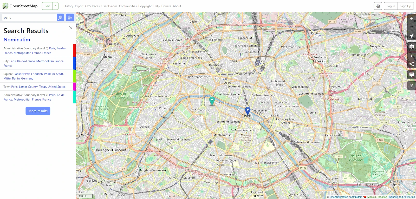
OpenStreetMap is an open-source application that powers the website and API for a community-driven map of the world. It serves as the primary interface for users to interact with geographic data, managing essential community features such as user accounts, personal diary entries, and a system for user-to-user messaging. The software provides the Browse pages, which act as a web front-end allowing users to explore and view the underlying OpenStreetMap data in a readable format.
Beyond the user interface, the application provides a technical foundation for map editing through an API based on XML and JSON. This allows for the programmatic creation and modification of map elements. Additionally, the software handles GPX uploads, enabling users to import GPS exchange format data for browsing and analysis. This makes the tool suitable for both casual map viewers and dedicated cartographers who require precise data entry and retrieval capabilities.
The application is built using the Ruby on Rails framework and relies on PostgreSQL as its primary database. Because it focuses on the interface and API layer, a fully functional installation requires integration with other separate services, specifically map tile servers for rendering the visual map and geocoding services for converting addresses to coordinates. For development and testing purposes, the default installation can utilize publicly available services. The software is designed for server deployment and is distributed under the GNU General Public License 2.0.
Similar Open Source Software

AppFlowy
A collaborative workspace for notes and databases that provides data ownership and native cross platform support.

Affine
A local-first knowledge base that merges structured documents, infinite whiteboards, and databases into one workspace.
Join our newsletter to get shiny new open source software delivered to your inbox. Unsubscribe anytime.