
A multi-modal trip planner for scheduled public transportation combined with walking, bicycling, and mobility services.
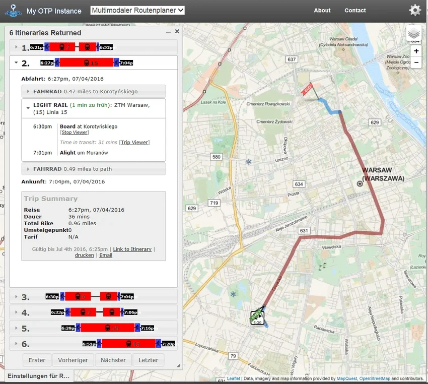
OpenTripPlanner is an open-source, self-hosted multi-modal trip planner. It calculates travel itineraries by combining scheduled public transportation with walking, bicycling, and mobility services such as ride hailing and bike sharing. The software operates as a server component that runs on any platform with a Java virtual machine, including Linux, Mac, and Windows, making it adaptable to various infrastructure environments.
The system builds its transportation network representation using open data from standard file formats, primarily OpenStreetMap and GTFS. It exposes GraphQL APIs that allow various clients, including native mobile applications and Javascript components, to access routing data. The server can apply real-time updates and alerts to account for service changes and disruptions, ensuring that the itineraries provided to the end user reflect current network conditions.
Key features
- Multi-modal routing combining transit, walking, and cycling
- Integration of GTFS and OpenStreetMap data formats
- GraphQL API for client application access
- Real-time updates for service disruptions and alerts
- Support for mobility services like bike share and ride hailing
- Cross-platform compatibility via the Java virtual machine
- Included Javascript client based on the MapLibre mapping library
The architecture consists of a Java server and a client layer. While the project provides a reference Javascript client for testing purposes, most major deployments utilize the GraphQL API to build custom front-end interfaces tailored to specific regional needs. The server is distributed as a shaded JAR file containing all necessary dependencies for deployment, which simplifies the installation process on the host machine. It is designed for transport agencies and developers who require a flexible backend for urban mobility planning and logistics management.
Development of the software is a collaborative effort involving contributors worldwide, with a history of development spanning over sixteen years. It is primarily used by cities and regions to manage public transportation data and provide navigation services to the public. The project maintains a focus on open standards to ensure compatibility with global transit datasets.
OpenTripPlanner serves as a backend infrastructure for transit agencies and regional planners to provide multi-modal navigation services.
Similar Open Source Software

SearXNG
A privacy respecting metasearch engine that aggregates results from multiple search services and databases.

ZincSearch
A lightweight search engine providing full text indexing with minimal resource requirements and a built-in UI.
Join our newsletter to get shiny new open source software delivered to your inbox. Unsubscribe anytime.